

So I promised readers that I’d take a rather indirect route to Knoxville on Saturday morning – going from Bristol, VA (where I stayed the night) through Scott and Lee counties, the westermost parts of the state of Virginia and the most sparsely (and poorest) populated place in the state.
Before you ask. I went because…well, it’s there. And why bother taking the interstate when you can drive through something actually scenic. So I took my time and sniffed some roses.
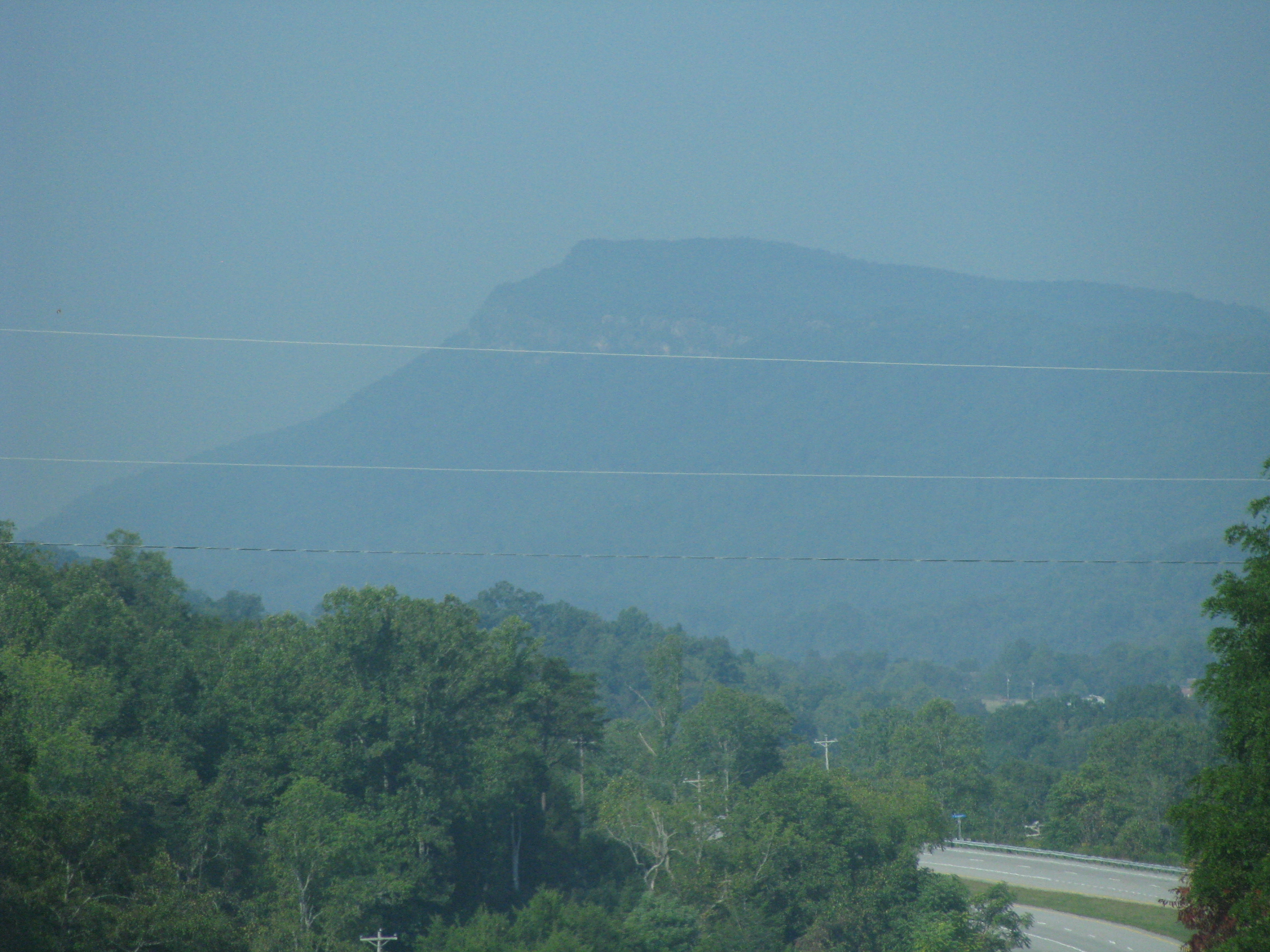
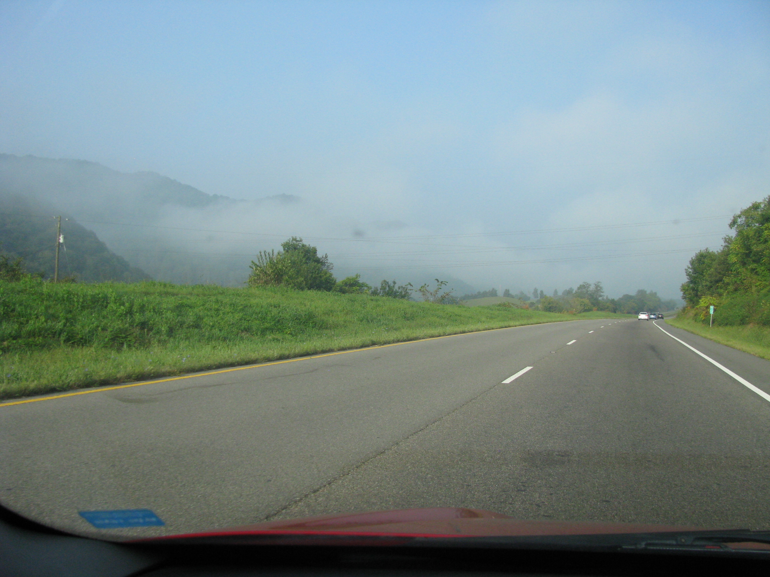
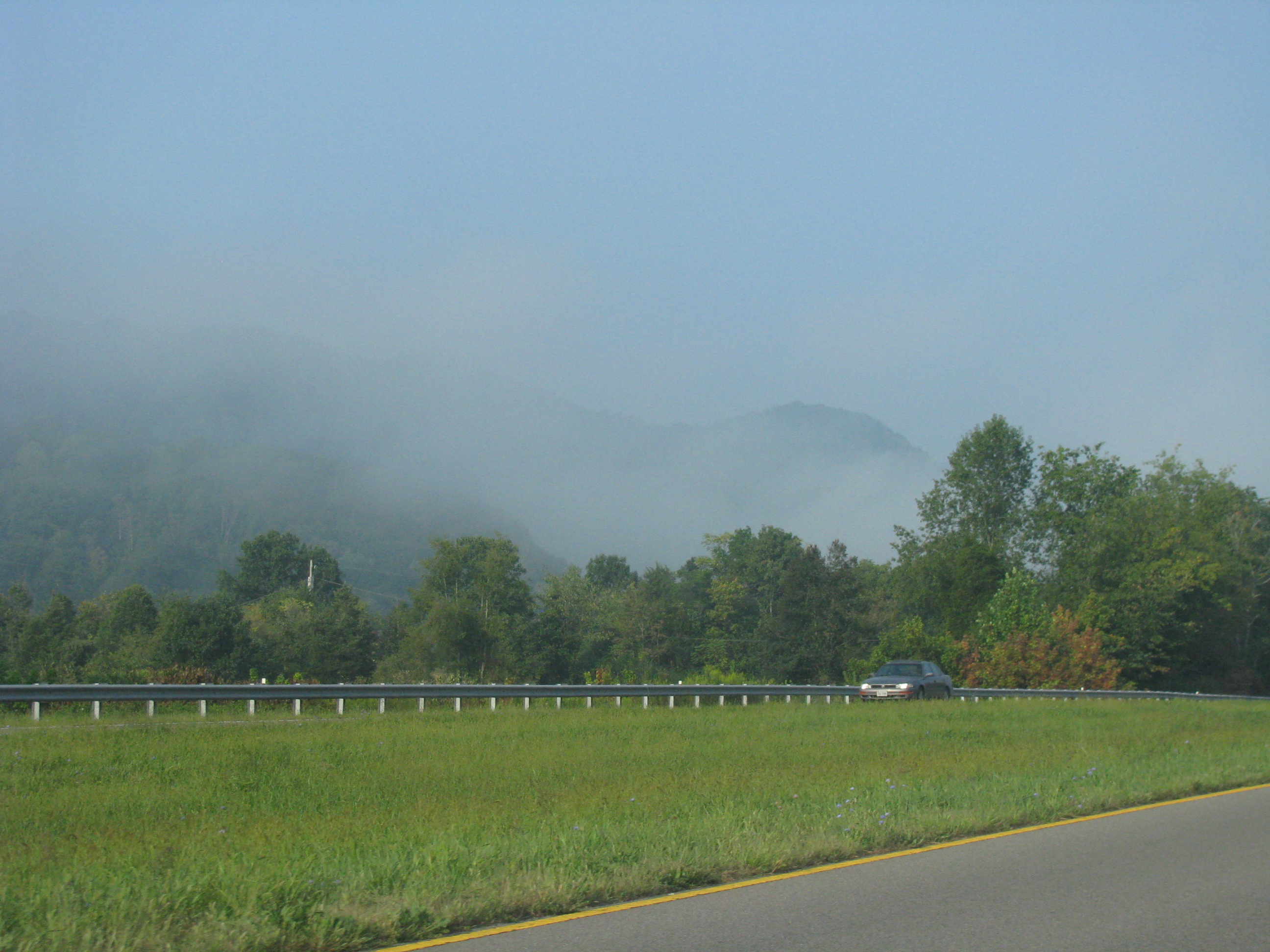
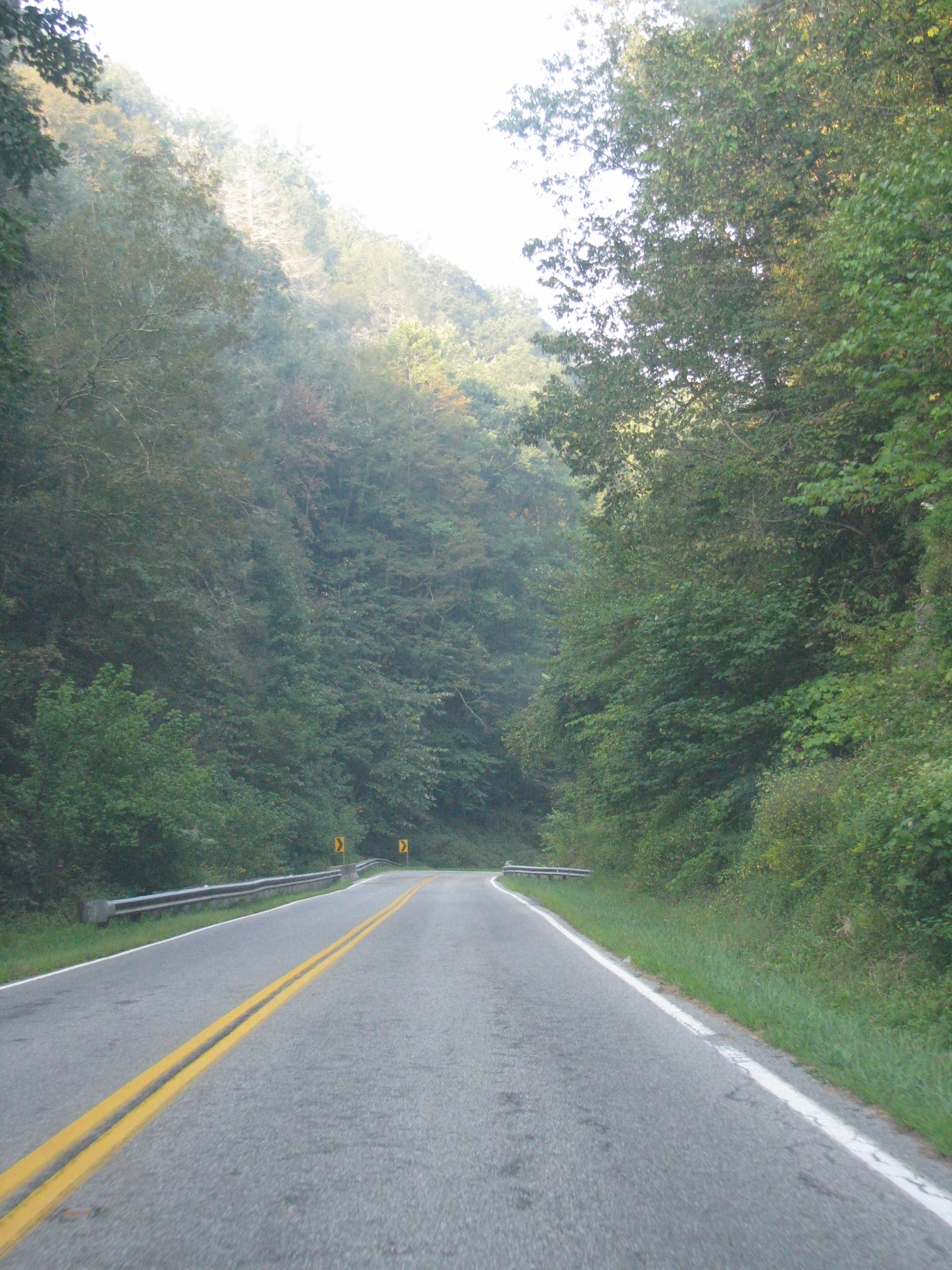
And boy was it scenic. The area of Scott County to the west of Bristol is like a tucked away sanctuary. No one knows it’s here and I imagine the locals would prefer that. Rolling hills, small mountains, meadows, trees and misty, low lying clouds blanketing the scenery. I took the “crooked road” up to Gate City before driving up to Duffield, where I stopped for a much needed McGriddle break (nothing is too remote for McDonalds). The traffic was rather piled up at the intersection in Duffield, even though nothing is really there except gas and a couple fast food places…I imagine it’s a crossroads for roadtrippers exploring the surrounding nature.

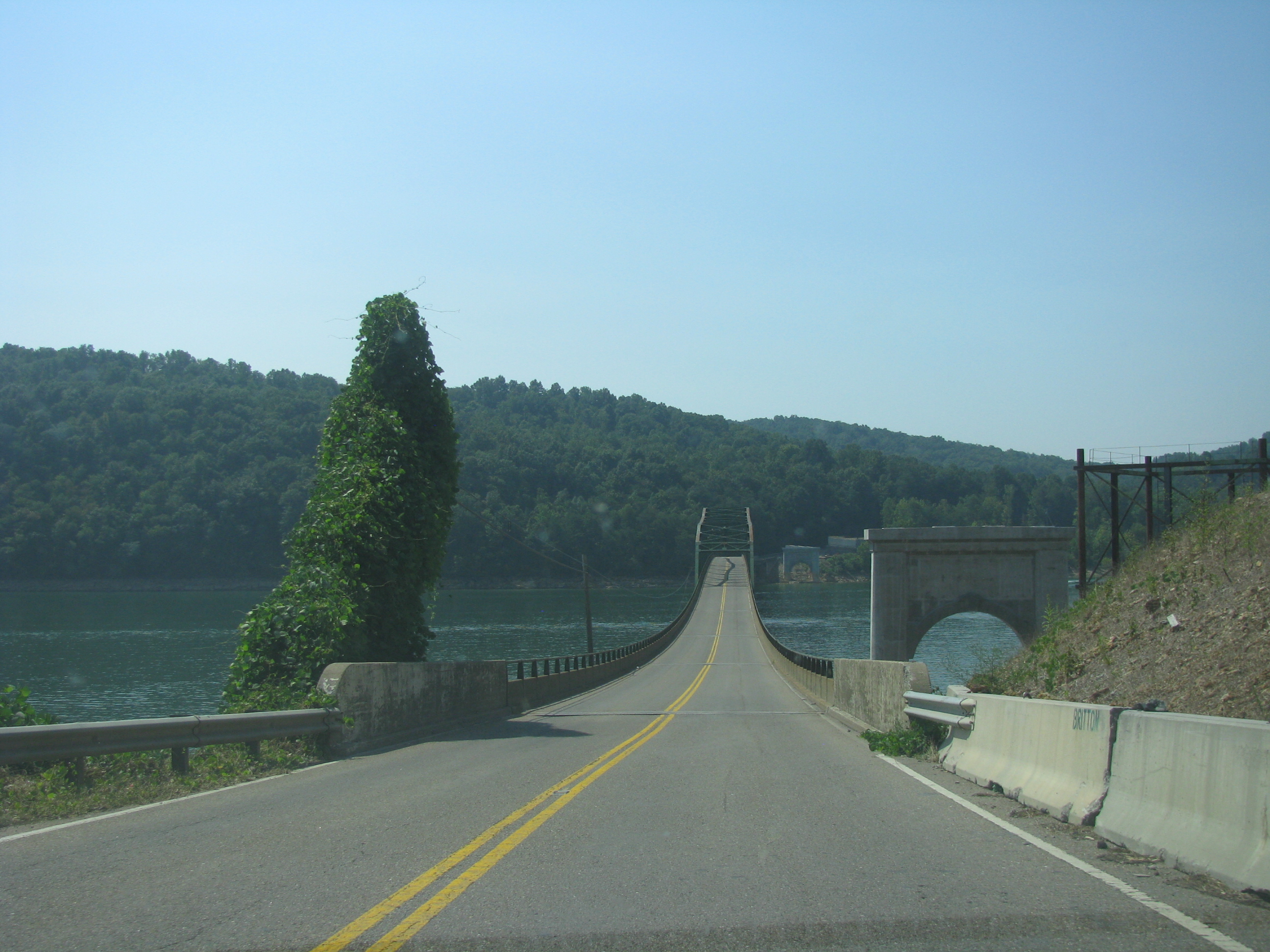
The crooked road makes for quite an enchanted drive. Time stands still here.
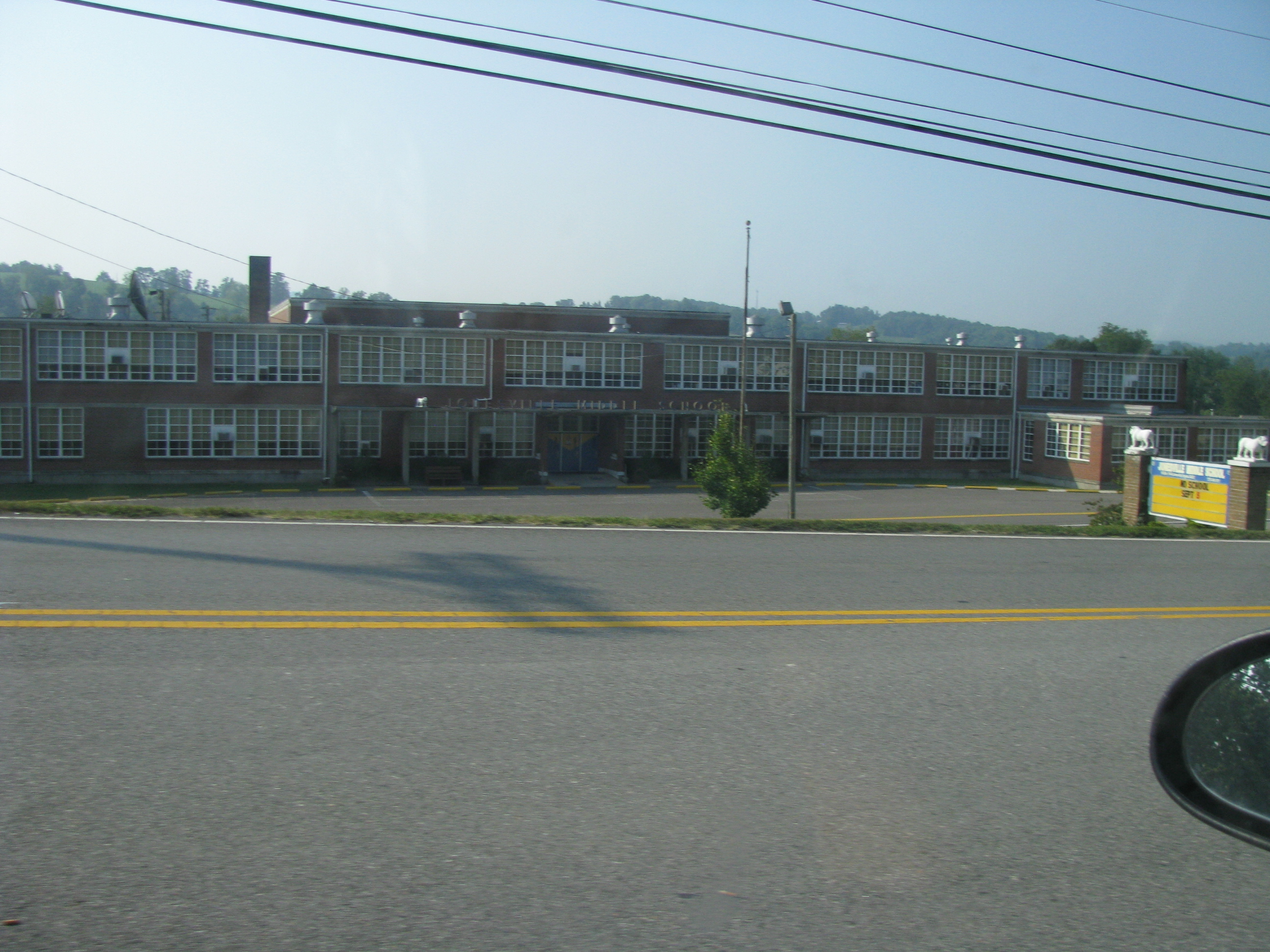
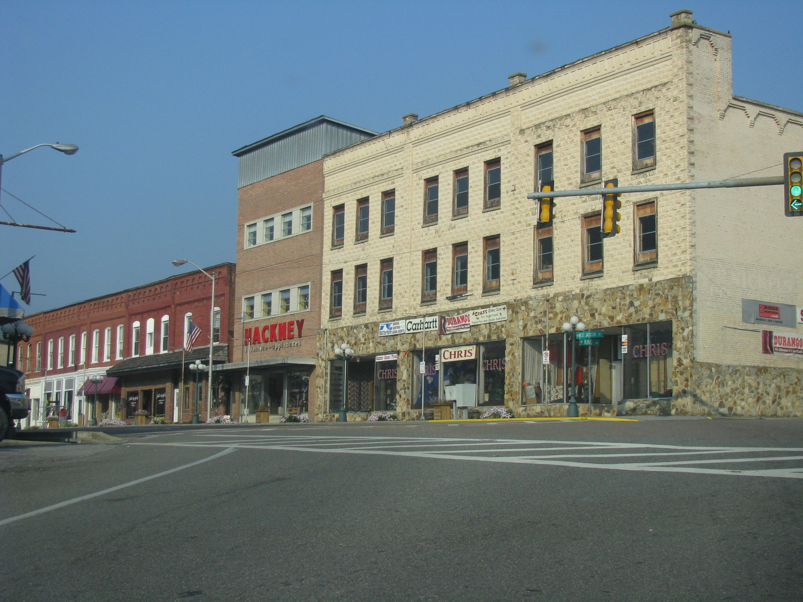
From there I drove through Jonesville, the county seat of Lee county. I decided to save my precious time for Cumberland Gap, so I didn’t stop and why they don’t have the courthouse situated on the main road through town beats me…

State No. 32! I left and re-entered the state of Tennesee three times in the span of an hour after shooting this picture
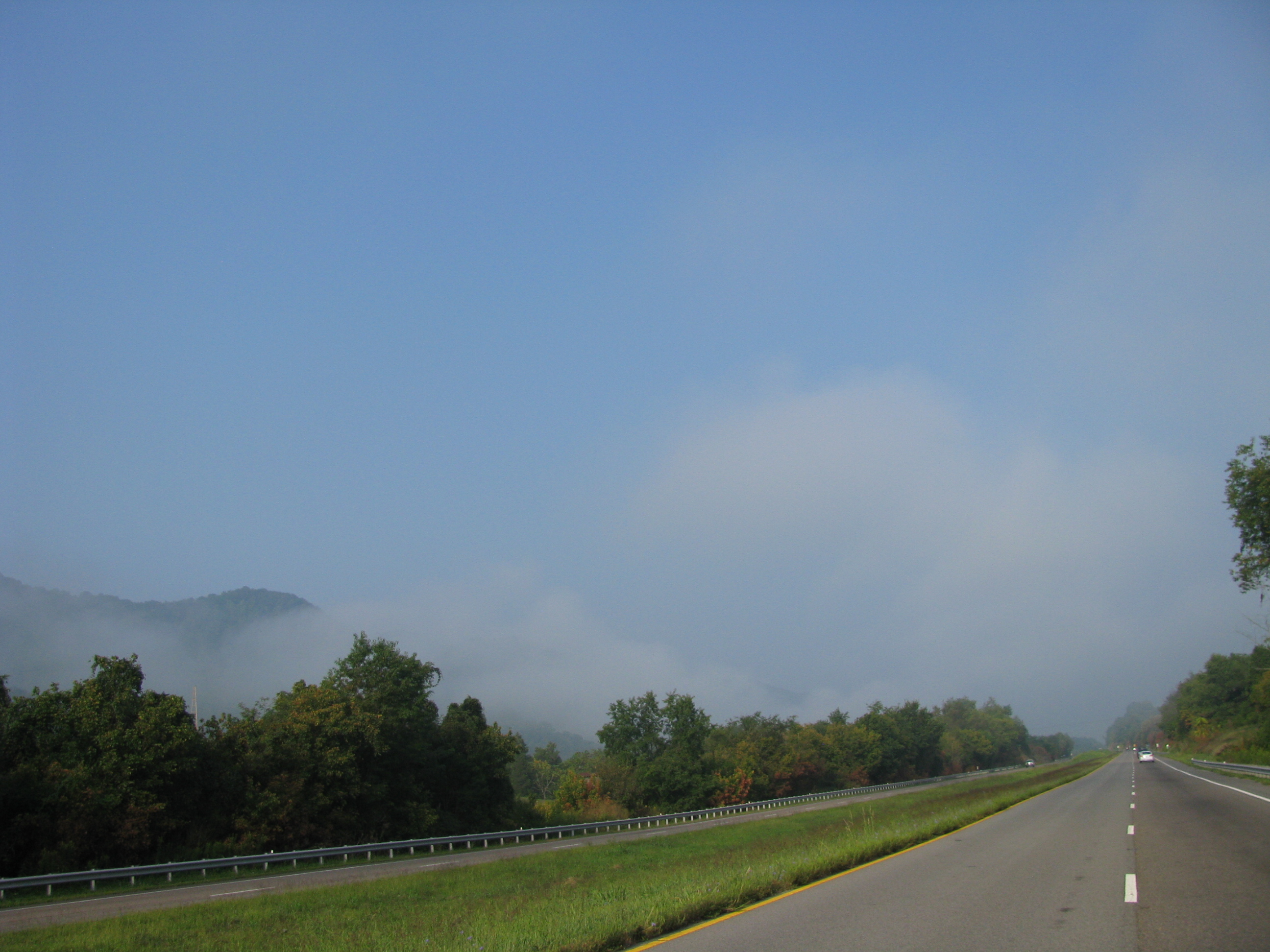
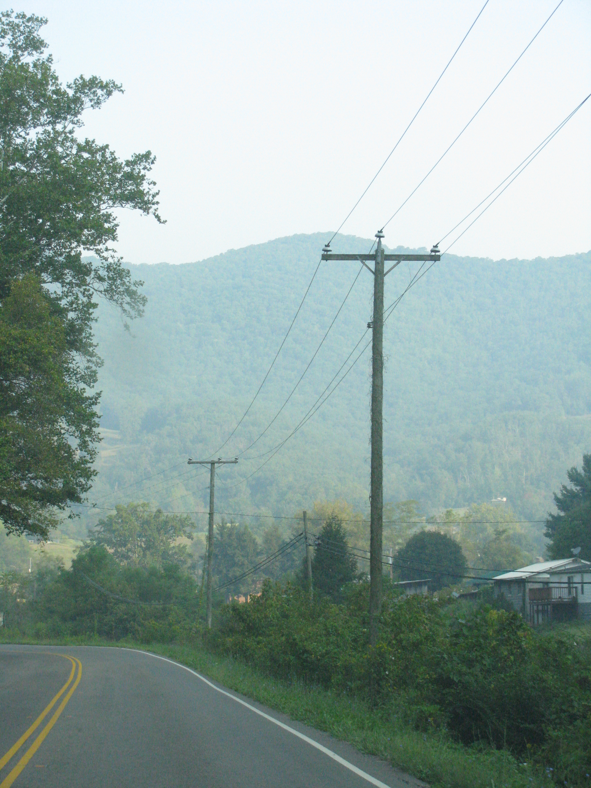
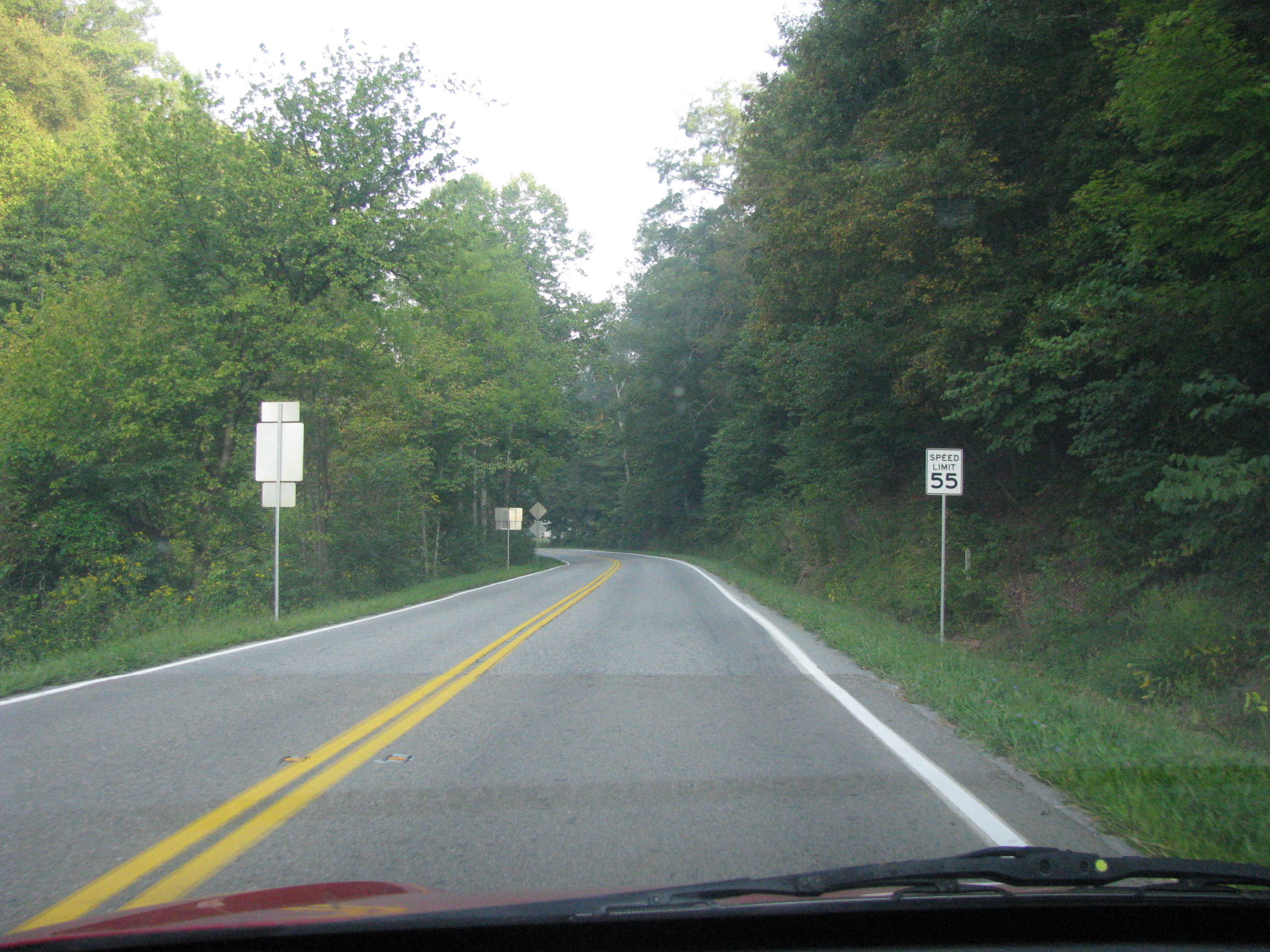
Rose Hill and then Ewing – the last town in Virginia came up back-to-back and were quite uneventful. Ewing isn’t really located in one spot, it’s just a few worn-down buildings and some houses trickled throughout the rest of the drive through Lee county. I was rather disappointed, as I was hoping for some sort of a recognition that this was it for the state of Virginia. I didn’t bother to stop but took some quick snaps while driving by. Gibson Station – technically the last community of Virginia (but part of Ewing) lay further down the road, past the Wilderness Road State Park. Then that was it…
Or was it?

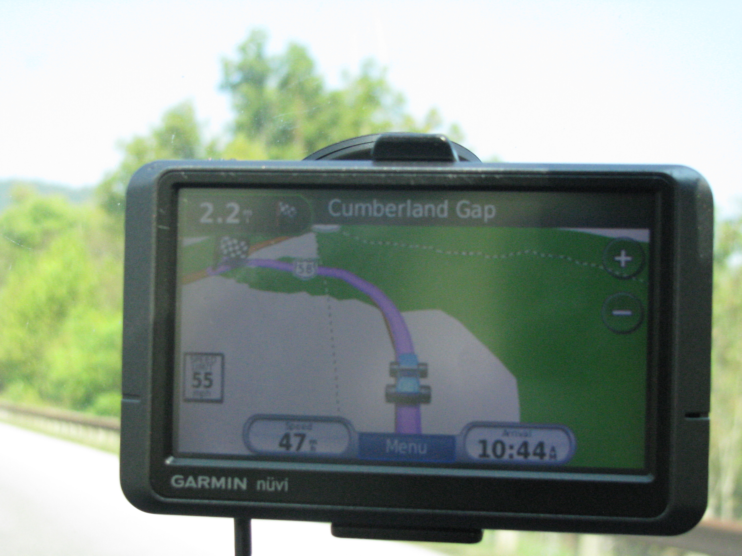
Yes, I took a picture of my GPS. I'm "offroading" in Virginia I guess...
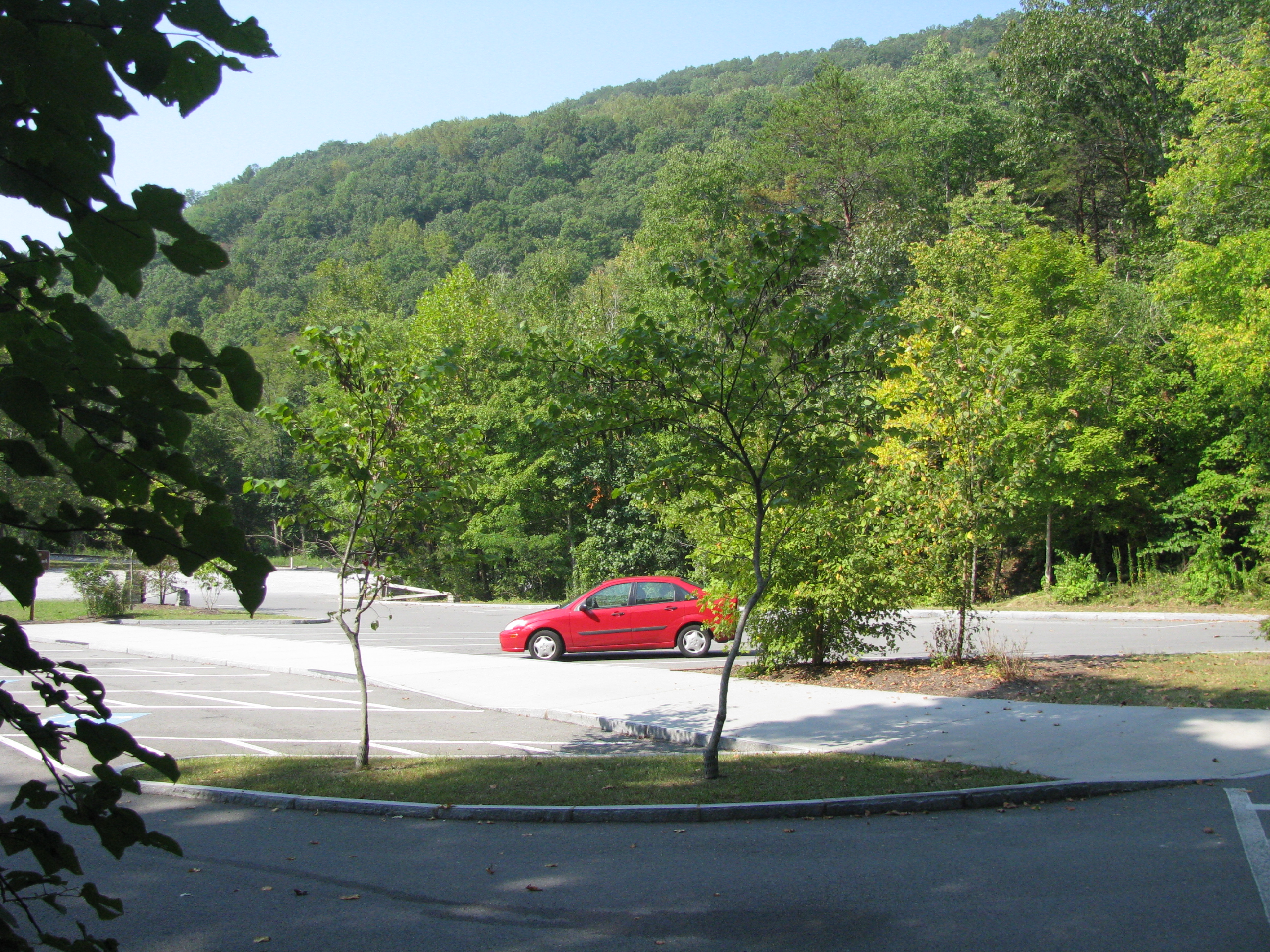
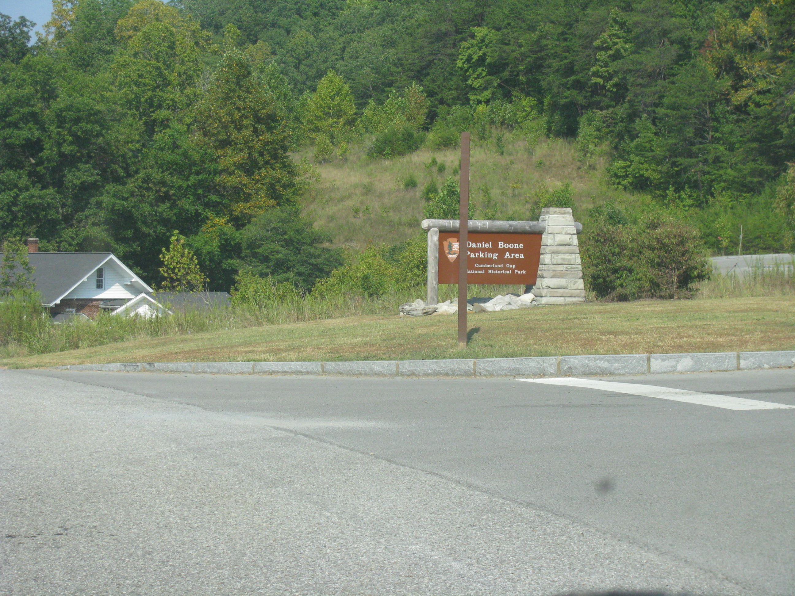
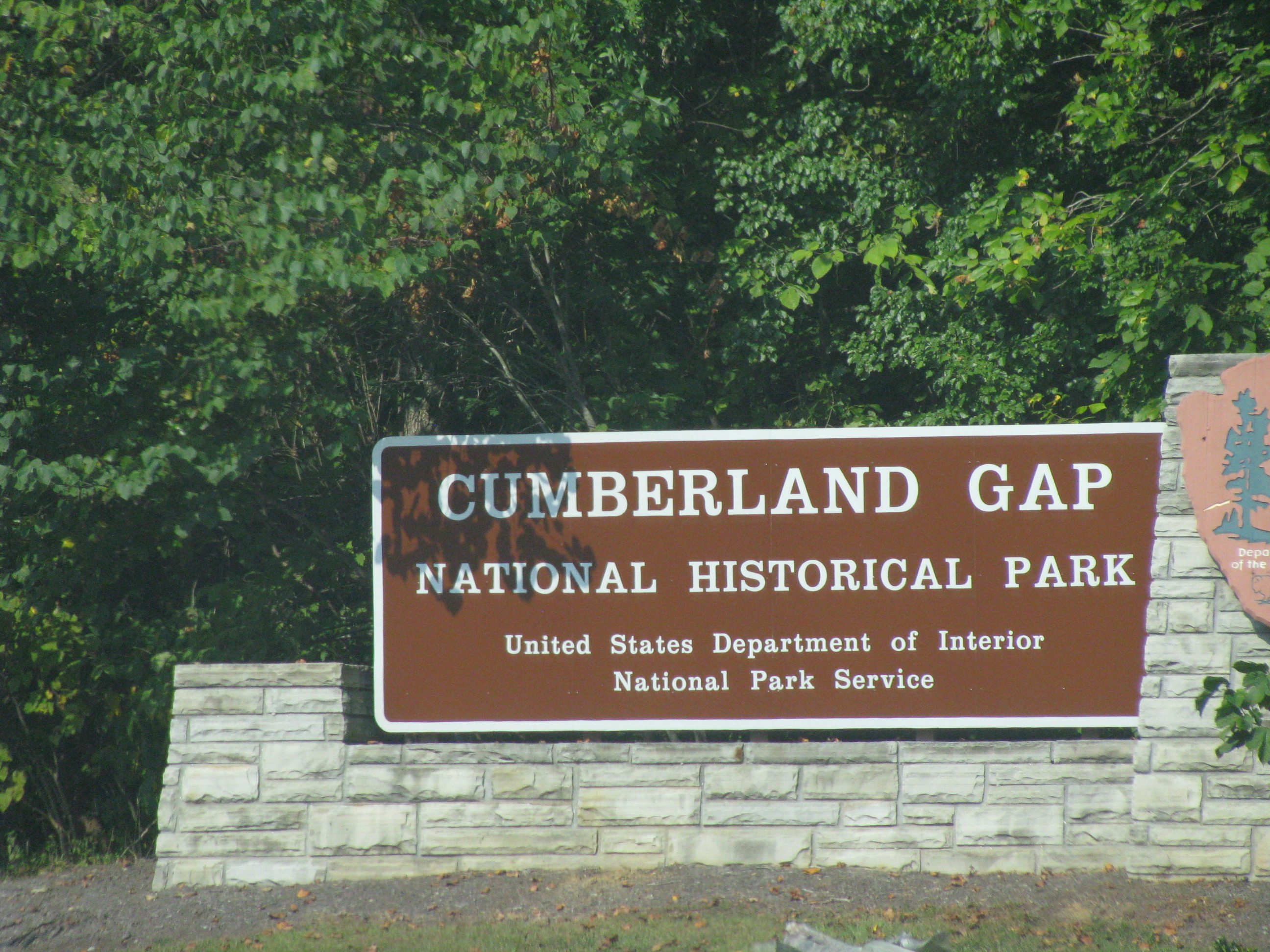
I’m welcomed to Cumberland Gap, Tennessee (state #32 for me! YAY!) before immediately turning back into Virginia on State Road 872 just to get into the main part of town. Now – unless you knew this was the case, you’d figure you were still in Tennessee. However, there is a Cumberland Gap National Historical Park research facility (and parking) on this road, so I imagine these belong in Virginia for some reason or other. My next mission was to drive down Pennlyn Ave. in downtown Cumberland Gap. At the very end is a parking lot – situated, yes, in Virginia territory! This little lot represents the furthest west you can drive a car around in Virginia (so, of course, I had to take a photo of my car parked there – at that moment I was the westernmost vehicle in Virginia – that’s ‘geekspeak’ for cool.)

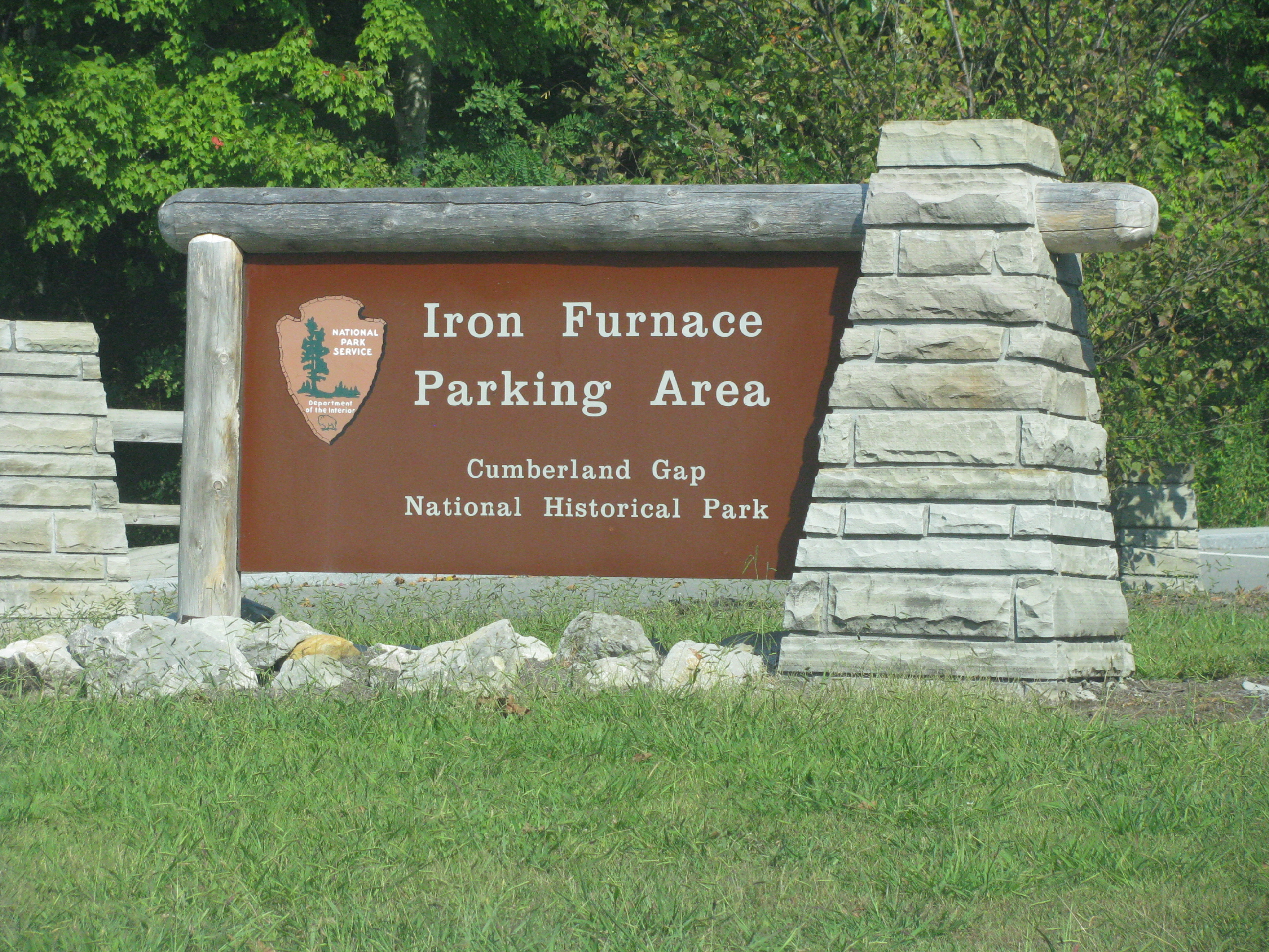
The Iron Furnace - this thing is massive folks. It doesn't look as tall in the picture - but I could easily walk in it without hitting my head
So why is that lot there. It’s another lot attached to the Cumberland Gap NHP. A huge old iron furnace lays on the Virginia side just adjacent to the lot. You can also hike to the point where Virginia, Tennessee and Kentucky meet, which I wish I had time to do, but had to be on my way. I snapped a few pics, drove through the small, touristy town (which was crowded, but nobody appeared as interested in the parking lot as I was, go figure…)

The Cumberland Gap tunnel, en route to Kentucky
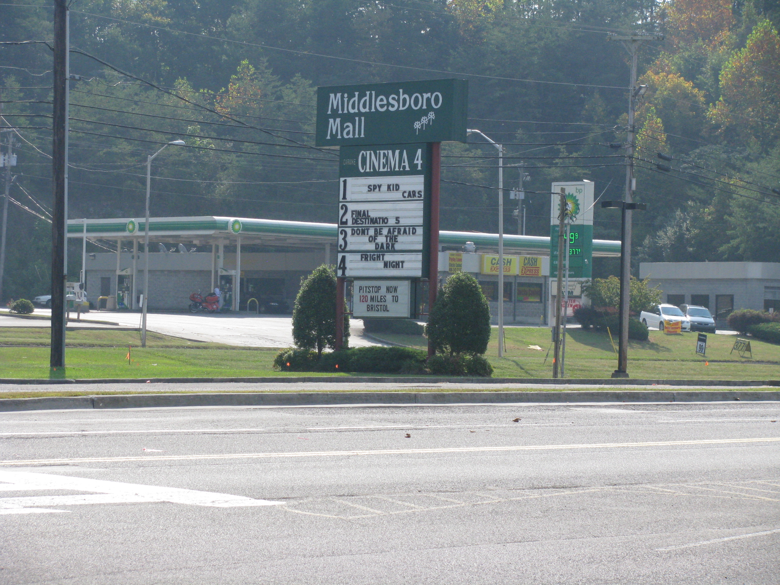
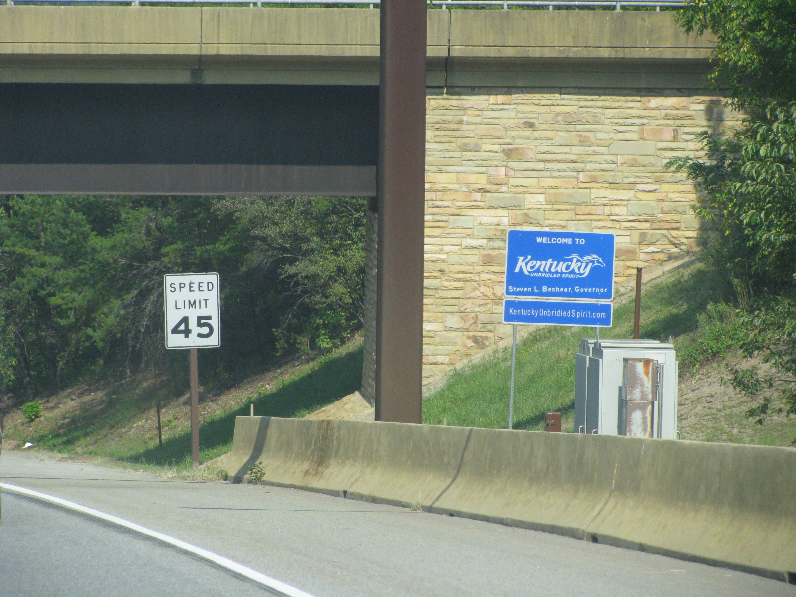
Before heading further into Tennessee, I felt it was my duty to take the Cumberland Gap tunnel (one of two tunnels on state borders) that cuts through the mountain into Kentucky. I stopped at the small Middlesboro, Kentucky mall and perused a sports cards and collectibles store (again, go figure…) before setting off for Knoxville. So, after my short, short hotel layover in Atlanta a couple weeks ago and my quick stroll into Kentucky, I can now wipe off Georgia and Kentucky from my airport-only visits (I was literally counting Kentucky from being at the Northern Kentucky airport, which serves Cincinnati, OHIO! Weak!).
Now I was ready for some football!! Check out some more pictures below…


-

- The Cumberland Gap tunnel, en route to Kentucky


-

- The Iron Furnace – this thing is massive folks. It doesn’t look as tall in the picture – but I could easily walk in it without hitting my head


-

- Yes, I took a picture of my GPS. I’m “offroading” in Virginia I guess…
-
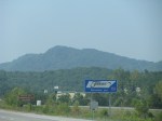
- State No. 32! I left and re-entered the state of Tennesee three times in the span of an hour after shooting this picture


-
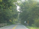
- The crooked road makes for quite an enchanted drive. Time stands still here.


So awesome that you made it to that little chunk of westernmost Virginia road.
It was fun and thanks for your help with the topo referencing. I was hoping it wouldn’t be another google maps error as you pointed out today on 12mc!
It’s a place I’d recommend visiting, it’s not like nothing is out there, but it is out of the way a bit
Pingback: Kentucky Adventure, Part 2 (Blazing a Trail) » Twelve Mile Circle » maps, geography, travel
Thanks, I enjoyed reading that!